
As energy operators and heavy industries navigate tighter global regulatory frameworks and aggressive pathways toward Net Zero, tracking greenhouse gases has transitioned from a sustainability ideal to a core operational mandate. Yet legacy methods for detecting leaks, including manual ground inspections or infrequent aerial flyovers, remain too slow, costly, and limited in scope to address transient, large-scale leaks effectively.
To deliver actionable data at the speed of modern operations, the industry requires persistent, scalable orbital monitoring. At LatConnect 60 (LC60), we’re answering this call with SWIRSAT, our upcoming Short Wave Infrared (SWIR) satellite constellation, purpose-built to transform how the global energy sector approaches emissions detection. SWIRSAT-1 and SWIRSAT-2 are fully funded and on track for launch in Q1 2027, and our Early Access Framework is open now for organizations that want a head start.
Why SWIR Is Essential for Emissions Detection
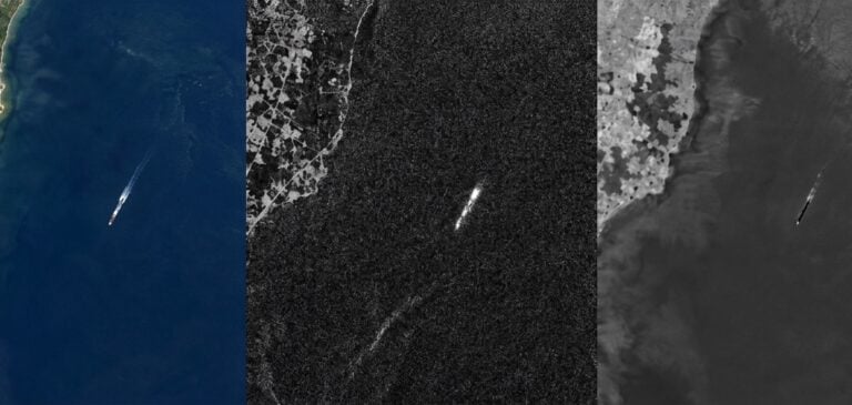
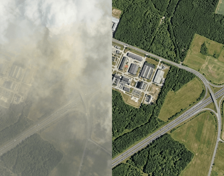
Traditional optical satellites see the world much like the human eye, capturing the reflection of visible light. While useful for mapping geographic terrain, visible imaging is blind to the gases accumulating in our atmosphere and is easily obstructed by smoke, dust, or coastal haze. Short Wave Infrared radiation, operating in the 1000 to 1750nm spectrum, functions differently. Rather than merely capturing surface color, SWIR sensors interact with the molecular composition of the target area.
Many major greenhouse gases, most notably methane (CH4), exhibit sharp, distinctive absorption signatures within the SWIR wavelength band. When solar radiation passes through a methane plume, specific infrared wavelengths are absorbed. By deploying fine-tuned spaceborne SWIR sensors, we can observe and quantify these invisible gas plumes from orbit, pinpointing where the atmosphere’s chemistry is being altered.
The SWIRSAT Advantage: Point-Source Resolution
Historically, space-based emissions detection has suffered from a steep tradeoff: satellites either cover vast areas at coarse spatial resolution (often 30 meters or wider) or provide high resolution over narrow targets with poor revisit rates. SWIRSAT is designed to close that gap.
Enhanced Fidelity. SWIRSAT captures native SWIR imagery at 8-meter resolution, with an enhanced “Super HD” processing tier delivering 4-meter resolution, sharp enough to localize a plume to the facility and equipment level. As the constellation grows, future SWIRSAT satellites will push native resolution beyond 3 meters.
Edge-AI Processing. Downlink delays can stall emergency response. By integrating space edge computing directly into the satellite hardware, SWIRSAT processes complex raw imagery on-orbit, shrinking the window between leak occurrence and field alert.
Extended Observation Window. SWIR radiation is less affected by smoke, haze, and coastal atmospheric scattering than conventional optical imaging, so SWIRSAT can maintain more consistent observation schedules over cloud-prone and high-latitude energy corridors than visible-spectrum satellites, extending the effective collection window well beyond what optical alone allows.
Persistent, Scalable Cadence. SWIRSAT-1 and SWIRSAT-2 deliver global revisit every 4 to 7 days at launch, improving toward daily global coverage as the constellation scales to nine or more satellites. Organizations securing capacity through the current Early Access Framework lock in priority tasking rights over their areas of interest, ensuring the fastest possible revisit as the constellation grows, along with early pricing that’s already competitive against the broader commercial SWIR and high-resolution EO market.
Delivering Operational Compliance
For upstream and midstream operators, independent, satellite-based emissions data is an increasingly important input for meeting international transparency benchmarks such as the UN’s OGMP 2.0 framework. SWIRSAT is designed to support the top-down, site-level reconciliation that OGMP Level 5 reporting calls for, working alongside operator-reported and facility-level data to build a defensible, audit-ready record: a level of independent verification that’s difficult to achieve through isolated terrestrial sensors alone.
Through advanced methane-retrieval analytics, SWIRSAT is being developed to identify material point-source emissions, with current development targets extending into the tens of kilograms per hour under favourable collection conditions., SWIRSAT can localize a plume down to the specific piece of infrastructure responsible: an individual wellhead, valve, or storage tank, where the source is a discrete point emitter such as an exhaust vent. That’s precisely the class of leak operators most need to catch fast: a small share of sites and events is typically responsible for the majority of a facility’s total methane loss, so SWIRSAT’s sensitivity is tuned to surface the high-volume events that carry the greatest regulatory and reputational exposure, cutting through the noise of minor, diffuse background readings. Tasked SWIR collections can resolve large, unexpected super-emitter events on a per-pass basis while aggregating routine passes to compile audit-ready annual facility inventories.
Beyond methane tracking, the same SWIR technology provides secondary operational safeguards. Because moisture and artificial materials alter infrared reflection, the sensors double as wide-area surveillance tools, identifying pipeline right-of-way encroachments, tracking underground hydrocarbon spills, and measuring vegetation stress caused by latent infrastructure leaks.
Concrete Action for Net Zero
Industrial emissions reduction cannot rely on guesswork. To manage leaks effectively, operators must be able to see them clearly, locate them quickly, and verify their mitigation transparently. By pioneering high-resolution Short Wave Infrared intelligence from orbit, LC60 is giving the global energy and resource sectors the toolset they need to protect assets, satisfy regulators, and hit meaningful climate milestones.
SWIRSAT’s Early Access Framework is open now, securing reserved capacity, priority tasking, and locked-in early pricing ahead of the Q1 2027 launch.
You can find more info about our digital Monitoring, Reporting, and Verification (MRV) for agricultural and nature-based carbon credit programmes here.
For further information, contact: Arvind.Rampal@latconnect60.com,
Arvind Rampal, Head of Commercial Strategy -Global, LatConnect60
Decisions that matter deserve intelligence that delivers.
Speak with our solutions team to explore how LC60 can support your mission.