Decision Superiority. From the Spectral Edge.
LC60 delivers sovereign Short-Wave Infrared satellite intelligence to Five Eyes nations, NATO partners, and trusted Indo-Pacific allies — purpose-built for the ISR missions where conventional sensors fall short.
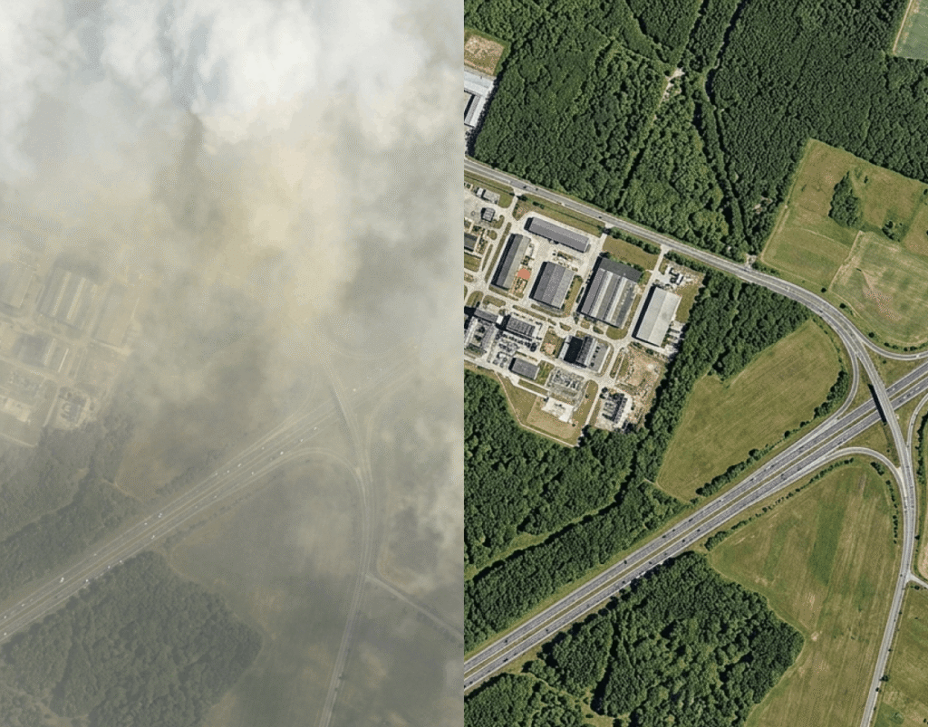
Material truth. From orbit.
Optical satellites see what is illuminated. SAR sees structure. SWIR sees material — through smoke, dust, haze, and concealment. For modern ISR, that distinction is the difference between observation and confirmation.
SWIRSAT delivers sub-1 metre resolution across an extended spectral range to 2400 nm, providing the highest-fidelity commercial dual-use SWIR capability available globally.
Built for the missions that matter.
Five operational capabilities — each enabled by sovereign SWIR observation.

SWIR Intelligence for Missile-Related Damage Assessment
Post-event battle damage assessment for urban, industrial, and hardened-infrastructure environments — when smoke, dust, and debris saturate the air and every minute…
Read case study
Maritime Monitoring and Grey-Zone Activity Detection
Naval ISR for littoral, coastal, and congested sea lanes — closing detection gaps left by AIS-disabled vessels, persistent haze, and rapidly fading…
Read case study
SWIR Intelligence for Missile-Related Threat Assessment and Detection
Pre-event detection and post-strike assessment for urban, industrial, and hardened-infrastructure environments — where seconds matter and visibility is degraded.
Read case study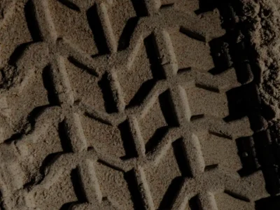
Discovery of Covert Ground Lines of Communication
SWIR-enabled ISR exposes concealed logistics routes, depots, and resupply movements that visible-spectrum imagery cannot resolve under canopy or terrain cover.
Read case study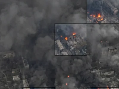
Advanced Disaster Assessment via SWIR
Operational intelligence for disaster response in contested, obscured environments — SWIR enables continuity of collection when optical systems fail.
Read case studyAllied control. Customer infrastructure.
Sovereign tasking, direct downlink, and on-premises processing — architected from first principles for trusted allied operators.
Sovereign Tasking
Customer-defined areas of interest with priority access and guaranteed capacity.
Direct Downlink
Imagery transmitted directly to your designated ground station. No third-party intermediary.
On-Premises Processing
Full processing pipeline — including super-resolution algorithms — deployable on customer-controlled infrastructure for the most sensitive workflows.
A complementary spectral layer for existing GEOINT stacks.
SWIRSAT data is delivered in GeoTIFF format with STAC JSON metadata, enabling direct ingestion into standard GEOINT exploitation environments. The system is designed as a complementary spectral layer within established multi-sensor ISR architectures, supporting cross-cueing with optical, SAR, and thermal assets.
GeoTIFF
Standard delivery format — direct ingestion into existing exploitation environments.
STAC JSON metadata
Open-spec metadata for discoverable, machine-readable imagery catalogues.
Multi-sensor cross-cueing
Cross-cues with optical, SAR, and thermal assets within established multi-sensor ISR architectures.
Common questions
SWIR is a band of the electromagnetic spectrum (roughly 1.0–2.5 µm) that sees through smoke, haze, light cloud, and many forms of optical concealment. It also reveals material signatures — fuel, fabric, metal, vegetation moisture — that visible-band imagery cannot distinguish. For ISR missions, that means detecting and characterising activity that conventional electro-optical and SAR sensors miss or ambiguously classify.
SWIRSAT is being built for the Five Eyes community, NATO partners, and trusted Indo-Pacific allies. Access is contractual and tier-based — sovereign operators can negotiate guaranteed tasking, exclusive collection windows, or full direct-downlink rights. We do not sell to entities outside that allied framework.
Sovereign customers can task SWIRSAT directly through their own command authority, with collection plans, target lists, and downlink schedules held under customer control. LC60 acts as the constellation operator, not as an intelligence broker — we do not see or retain the analytical product unless explicitly contracted to.
Yes. SWIRSAT imagery is delivered as standard GeoTIFF with STAC JSON metadata, which loads directly into common GEOINT environments — ArcGIS, QGIS, ENVI, Esri Image Server, and the major sovereign exploitation stacks. It is designed as a complementary spectral layer, not a replacement system.
Examples include: detecting concealed vehicles and materiel through camouflage and light vegetation; identifying fuel and explosive caches by spectral signature; monitoring industrial activity (smelting, propellant production) by thermal-edge behaviour; assessing battle damage in smoke-obscured environments; and characterising maritime targets through haze and sea spray.
The constellation is being scaled to deliver multi-times-daily revisit over priority areas at tactically relevant resolution. Specific tasking SLAs are agreed per contract and depend on whether the customer holds dedicated, priority, or pooled collection slots.
SWIRSAT is being designed and integrated at LC60’s Perth, Australia facility, with mission operations conducted from Australian soil under Australian law. This is core to the sovereign value proposition — both the hardware and the operational chain sit inside allied jurisdiction.
LC60 operates to allied information security standards (ISO 27001 certified, with additional sovereign overlays available). Customer collection requirements, target lists, and downlinked imagery are handled under classification regimes agreed with the customer’s accrediting authority. On-premises and air-gapped deployments are supported.
Sovereign intelligence. Allied control. Spectral certainty.
Speak with our defence team to scope a tailored engagement.