
Real Results. Proven by Data.
See how defense agencies, agribusinesses, and sustainability-focused enterprises around the world use LC60 AI satellite intelligence to solve real operational problems — with measurable outcomes.
All Case Studies
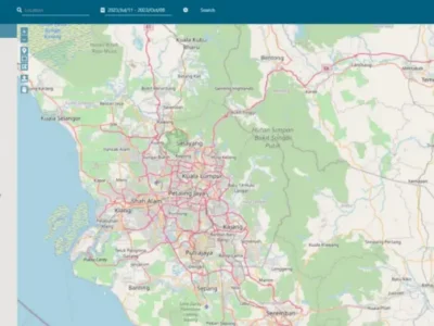
Centralised EO Data Access for an Australian State Government
900,000 km² of high-resolution Earth Observation data delivered through a unified, license-free platform — empowering an Australian state government and its agencies…
Read case study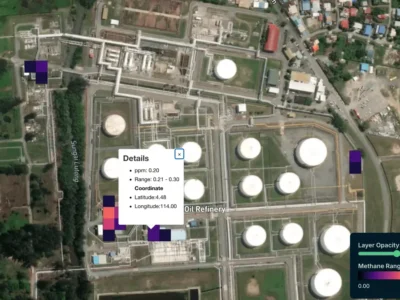
Scalable Methane Monitoring for a Southeast Asian Oil & Gas Major
AI-powered, satellite-grade methane monitoring underpinning OGMP Level 4 & 5 compliance and a 50% / 50% reduction trajectory toward Net Zero 2050.
Read case study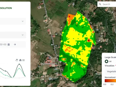
AI-Driven Agri Intelligence for a Malaysian State Enterprise
How LC60 AI helped a Malaysian state enterprise unify nationwide crop monitoring, deliver smallholder advisories to 50,000+ farmers, and lay the groundwork…
Read case study
SWIR Intelligence for Missile-Related Damage Assessment
Post-event battle damage assessment for urban, industrial, and hardened-infrastructure environments — when smoke, dust, and debris saturate the air and every minute…
Read case study
Maritime Monitoring and Grey-Zone Activity Detection
Naval ISR for littoral, coastal, and congested sea lanes — closing detection gaps left by AIS-disabled vessels, persistent haze, and rapidly fading…
Read case study
SWIR Intelligence for Missile-Related Threat Assessment and Detection
Pre-event detection and post-strike assessment for urban, industrial, and hardened-infrastructure environments — where seconds matter and visibility is degraded.
Read case study
Discovery of Covert Ground Lines of Communication
SWIR-enabled ISR exposes concealed logistics routes, depots, and resupply movements that visible-spectrum imagery cannot resolve under canopy or terrain cover.
Read case study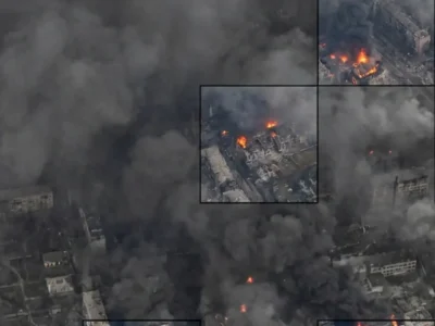
Advanced Disaster Assessment via SWIR
Operational intelligence for disaster response in contested, obscured environments — SWIR enables continuity of collection when optical systems fail.
Read case studyNo case studies in this category yet.
What Our Customers Achieve
Aggregated, independently-verified outcomes across all active LC60 AI deployments.
Want to Be Our Next Success Story?
Tell us about your operation and we’ll show you — with real data from your region and sector — what LC60 AI can deliver for you specifically.