Centralised EO data for an Australian state government
How LC60 AI delivered 900,000 km² of high-resolution Earth Observation data and a unified access platform — empowering an Australian state government and its agencies to drive conservation, biodiversity, and resource management at scale.
From fragmented data sourcing to a unified, license-free EO platform across state agencies
Multiple agencies, no shared way to access Earth Observation data
An Australian state government needed high-resolution EO data to support its initiatives in conservation, biodiversity, and environmental management. Each state agency had its own analyst pool, its own use cases, and its own procurement workflow — but no shared platform. The lack of a unified data layer made it difficult to streamline collection, analysis, and application across departments.
Agencies sourced imagery independently, duplicating effort, cost, and storage across departments.
Per-seat licensing limited how data could be re-shared and re-used inside government — slowing cross-department analysis.
Without training and a usable platform, EO data did not reach the analysts and field teams who would benefit most.
A unified EO platform — license-free for state agencies
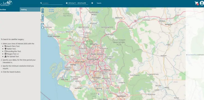
LC60 AI built and delivered an advanced EO data platform designed to enhance access, usability, and collaboration across multiple state agencies. The licensing model removed traditional EULA barriers, so once an agency had access, it could share, analyse, and apply the data without compliance friction.
Coverage of the state’s priority areas of interest for conservation, biodiversity, and resource management.
A single integration point for every agency — replacing fragmented per-agency procurement and storage.
Agencies can share, analyse, and apply data internally without per-seat licensing or compliance overhead.
Hands-on workshops for agency teams on applying EO data to conservation and biodiversity initiatives.
EO data working across government, not in silos
Coverage of priority areas of interest across the state — available to every participating agency.
One unified access layer replaces fragmented per-agency procurement, storage, and analysis.
Agencies can share, analyse, and apply data internally without per-seat or per-use restrictions.
Make EO data work across your agencies
Speak with our government and EO data team about centralised, license-free Earth Observation programmes for state and federal customers.